Pāhala helping Pāhala
Relief rooted
in community.
Kaumahana Hub connects Pahala families with supplies, trusted recovery information, and the people showing up after Hurricane Lala.
Secure giving through our fiscal sponsor, Healthy Mothers Healthy Babies Coalition of Hawaii.
96-1164 Kaumahana St. · Pāhala, HI 96777
THE LATEST
Recovery, one day
at a time.
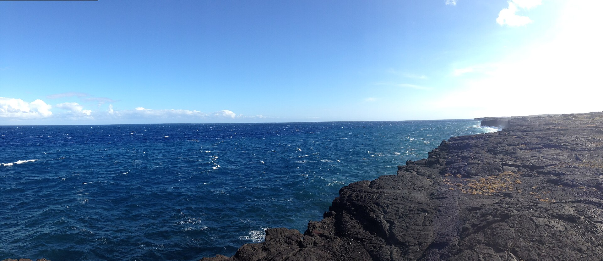
Local Hurricane Lala recovery reporting for Pāhala, Nāʻālehu, Waiʻōhinu, Discovery Harbor, Wood Valley, and affected parts of Ocean View.
View all recovery updates →Checking local recovery reporting…
HAWAIʻI WEATHER
Keep an eye on the weather.
Explore the latest available wind forecast around Hawaiʻi. Use the map’s timeline to check the time shown.
Opening weather map… The map’s timeline shows the forecast time; page refresh time is not a weather observation time.
If the map does not appear, open the full map above. Forecasts and satellite images update on their providers’ schedules.
THE STORM WE WEATHERED
Lala over
Moku o Keawe.
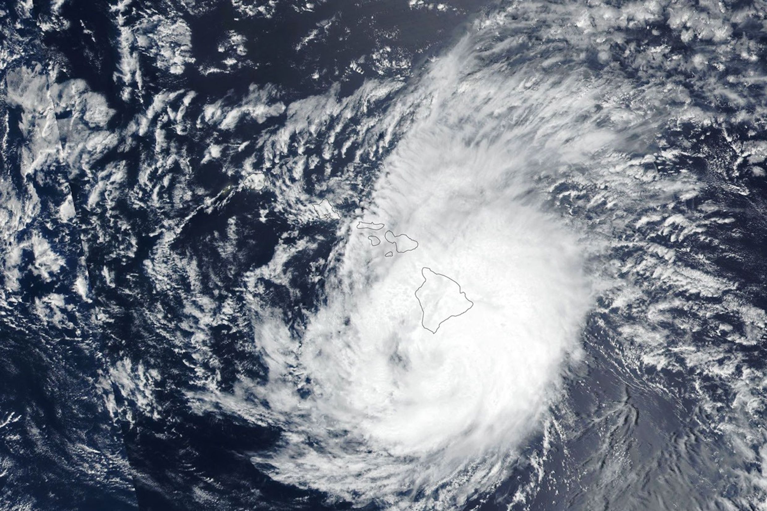
Hurricane Lala passed just south of Hawaiʻi Island on August 15, bringing destructive wind, rain, flooding, and waves. This public-domain satellite view helps tell the story of what Kaʻū faced—and why recovery continues.
View NASA’s storm report ↗NASA Earth Observatory image by Lauren Dauphin, using VIIRS data.KO MĀKOU ʻOHANA
“When our roads washed out, our community showed what it means to stand together.”
Kaumahana Hub is led by brothers Napoleon and Lincoln Kailiawa, their hānai brother Demetrius Oliveira, and an extended ʻohana of neighbors, friends, and volunteers across Kaʻū.
Our community story →